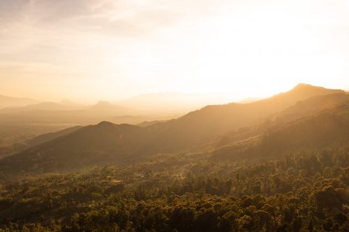
When the Kenyan government announced a temporary ‘zonal lockdown’ back in March through to April, it really threw a spanner in the works of our planned holiday. We had already packed the car and mapped out a road trip that would see us traverse much of central Kenya; big parts of Nakuru and Laikipia counties.
As of midnight the trip would become impossible. Just like that we were back to the drawing board once more. And then the penny dropped…
There was one gaping hole in our travels of this magnificent country. For most, the Mara is considered west within the country, and very few contemplate going further west than the Mara itself. The Western counties were far removed from the lockdown zones and so this seemed like the perfect opportunity to explore. We plotted an exceptionally rough route on the map – literally picking a direction.
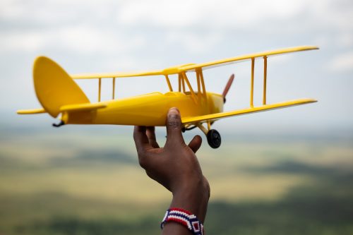
For a change, rather than capturing the scenes with a DSLR camera, I documented the road trip from above. An aerial safari across Western Kenya.
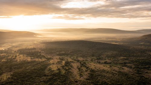
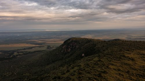
Kileleoni Hill; the highest point in the Mara landscape. Just beyond the hill you can see the start of the farmlands, the northern extremity and the boundary of the Maasai Mara.
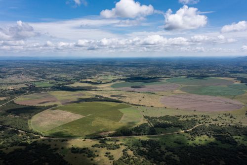
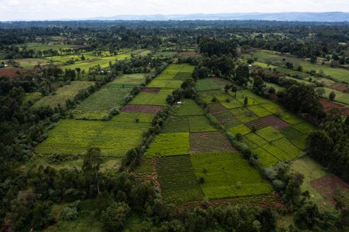
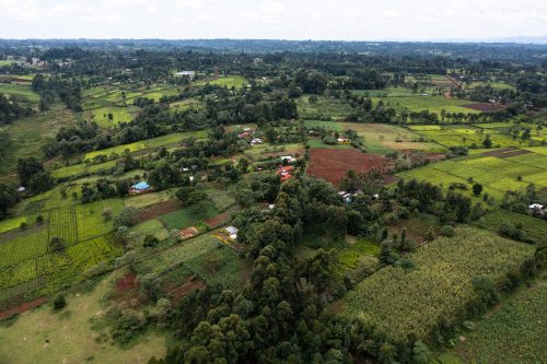
As you move north out of the Mara, in the direction of Bomet, you move out of the grasslands, and cross into farming country. Most of the farms in this area are small scale, but there are a few larger commercial farms that even use centre-pivots to irrigate their crops.
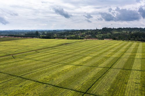
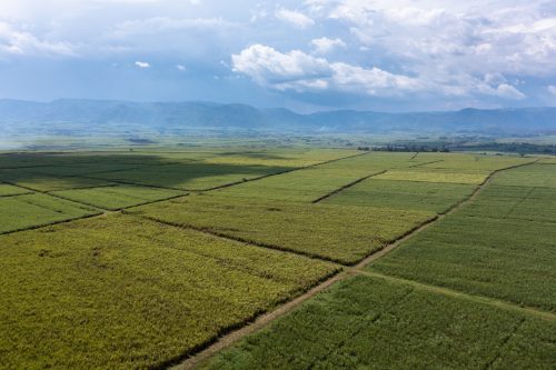
Approaching the outskirts of Kericho you start to move into tea-country. The warm and temperate climate make it ideal for agriculture. The plots of land across Kenya are referred to as ‘shambas’ which essentially means fields or gardens. The landscape is cut up into neat little ‘shambas’, each with their own crops. The further you move away from the Mara the smaller the shambas seem to become.
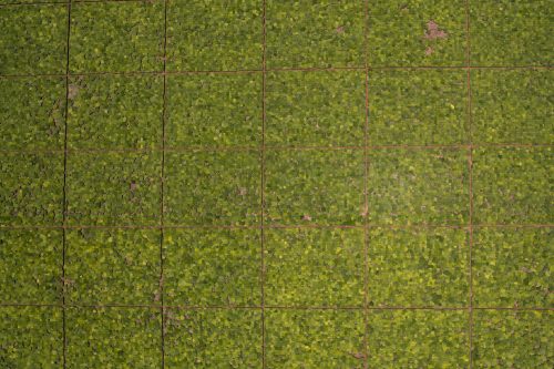
As you move away from the Mara you also start to see fewer and fewer cattle. There is a definite shift towards agriculture. There is a mixture of both small scale tea crops and massive plantations owned by larger companies. At times it is as if there is tea as far as the eye can see. Once you move through the tea fields, the land suddenly shifts to sugar. Acre upon acre of sugar cane.
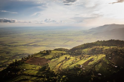
From the Nandi Hills, looking to the south-west over the sugar cane, in the far distance, to the left, you can just about make out the waters of Lake Victoria.
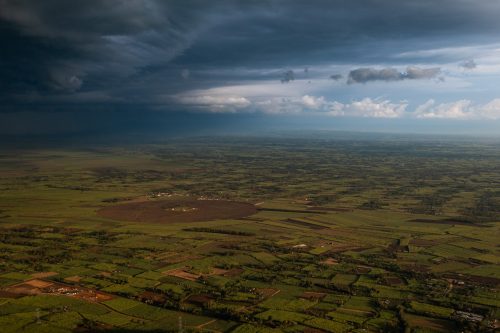
Underneath the Nandi Hills lies gold – in fact this is one of the most gold-rich areas in Kenya
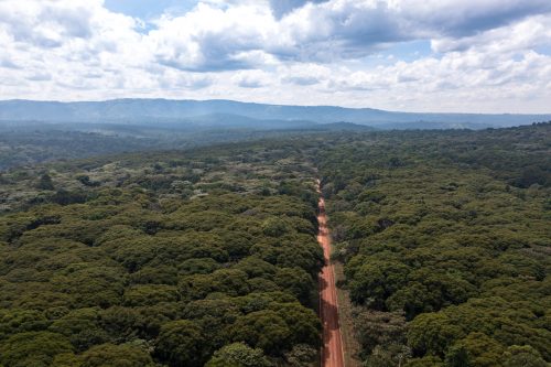
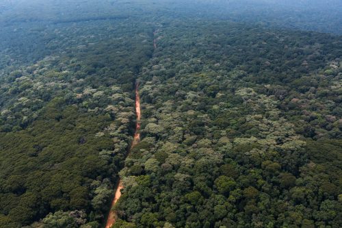
Kakamega Forest is one of the last remnants of montane forest in Kenya. It is a relic of the equatorial rainforest which once spread from West Africa to the East African coast. Roughly 300 species of bird can be found in this 200 square kilometre forest; 10% of which can be found nowhere else in Kenya. It is a birders paradise as you seek out forest species normally associated with Central and West Africa.
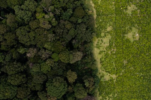
Where two worlds meet. Kakamega Forest is essentially an island. Completely surrounded by a mosaic of villages and agriculture. If you have any interest in birdlife and forest ecosystems then this is no less than a little patch of Eden. The sooner you can get there the better.
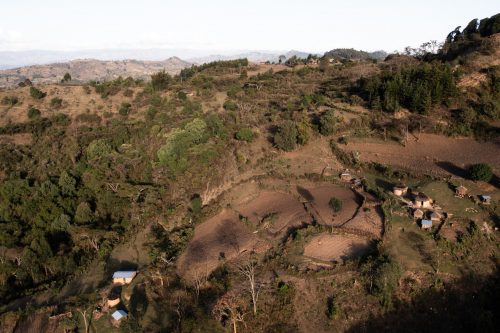
Heading north, we passed through the city of Kitale, higher and higher up into the Cheranganis. Here, the landscape gets drier and more desert-like. At this time, all the fields were being prepared for the imminent rains that were about to fall. Sandy brown soils dominate.
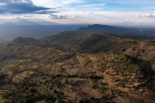
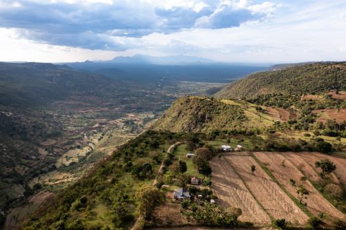
Massive views across West Pokot. In the distance you can see a mountain range that is in Uganda. We were so close, it was tempting to cross the border and go and look for a shoebill. The second photograph shows the massive expanse of the land, the ways it is utilised, and also the mystery of what travel in Africa is really about.
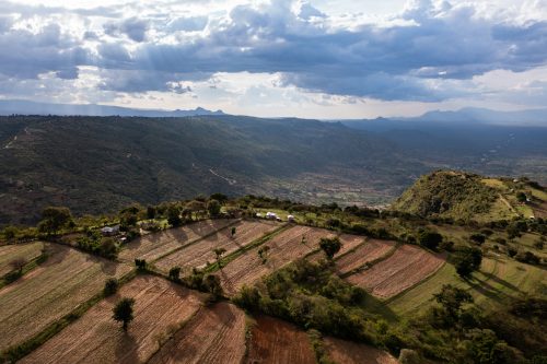
Life out in these remote areas is tough, but the people are hardworking and healthy. Our view at Angama Mara, across the Maasai Mara, is vast and stunning, but the view from this little homestead was just as breathtaking.

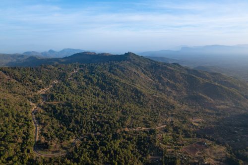
Beyond the hills in the distance is Lake Turkana. On the way back to the Mara, we stopped at Iten, the region where all of the world famous ultra-runners come to train. It was incredible to watch these super-fit humans running along the meandering roads at such high elevation.
It was so refreshing to see another part of Kenya with such huge diversity and topography. From swamps rich in Sitatunga, forests alive with ridiculously coloured birds, mountain ranges glowing at sunset and tea fields painted across the horizon. At the end of the day, it isn’t really set-up for tourism… yet. There are currently hardly any places to stay along the route, but it has huge potential and really is a special part of the country.
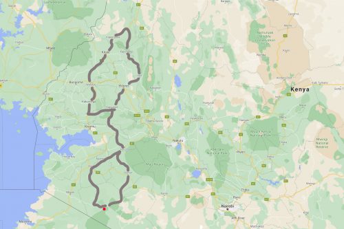
A rough map of the route we covered. The red dot indicates the location of Angama Mara.
Filed under: East Africa Travel
Subscribe for Weekly Stories
Comments (0):
Out of Africa